Hike to Sammisoq
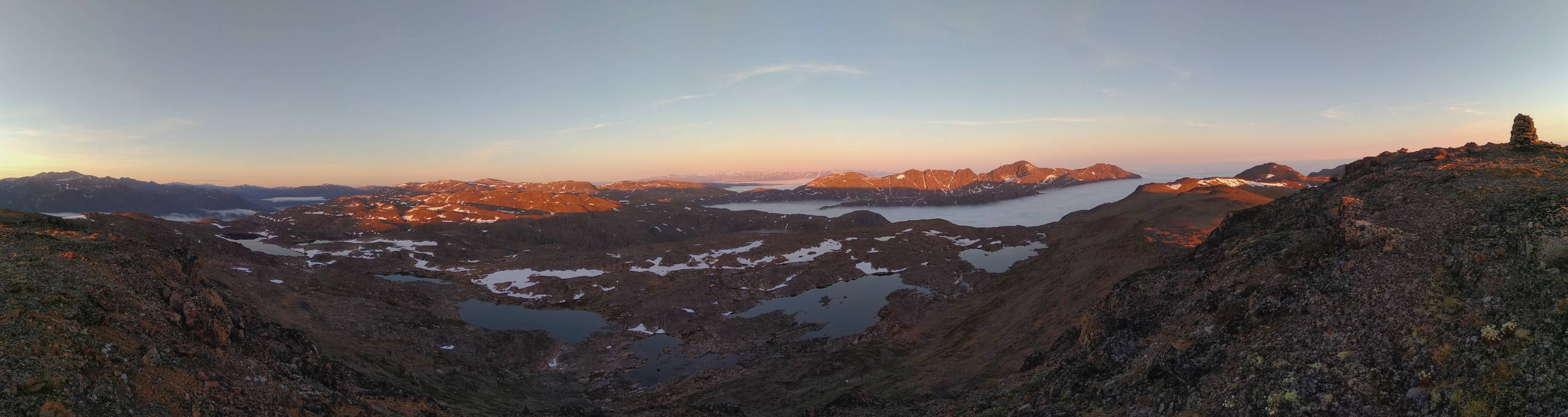
Northeast of Sisimiut is a ridge with peaks up to between 600 and 650 m. It’s not one of the known hiking destinations and doesn’t have marked trails, but it’s relatively easy to make your way up there as it doesn’t have as steep sections as the popular Palasip Qaqqaa or Nasaasaaq. The views may not be quite as dramatic either, but nevertheless fantastic, and as a bonus you’ll likely have the scenery all to yourself. I haven’t heard anybody mention the place, but found the name Sammisoq on a map.

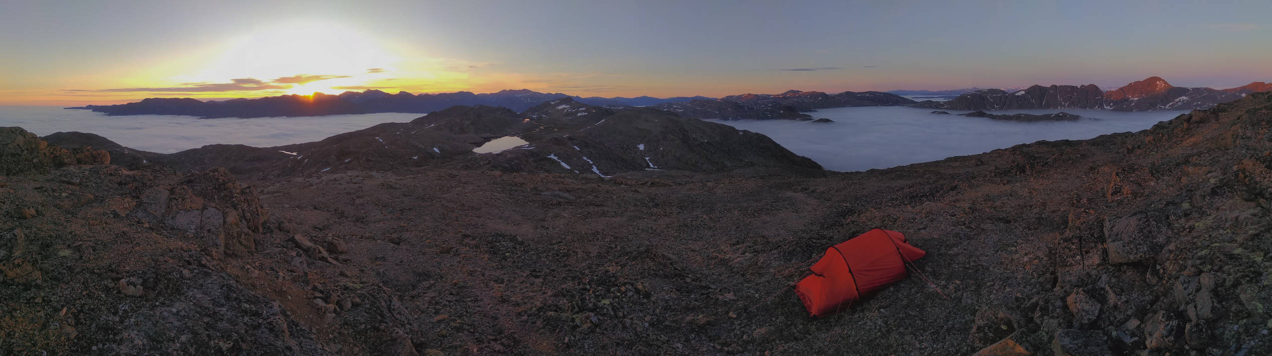
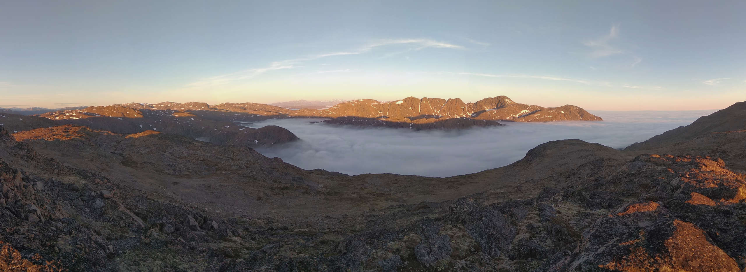
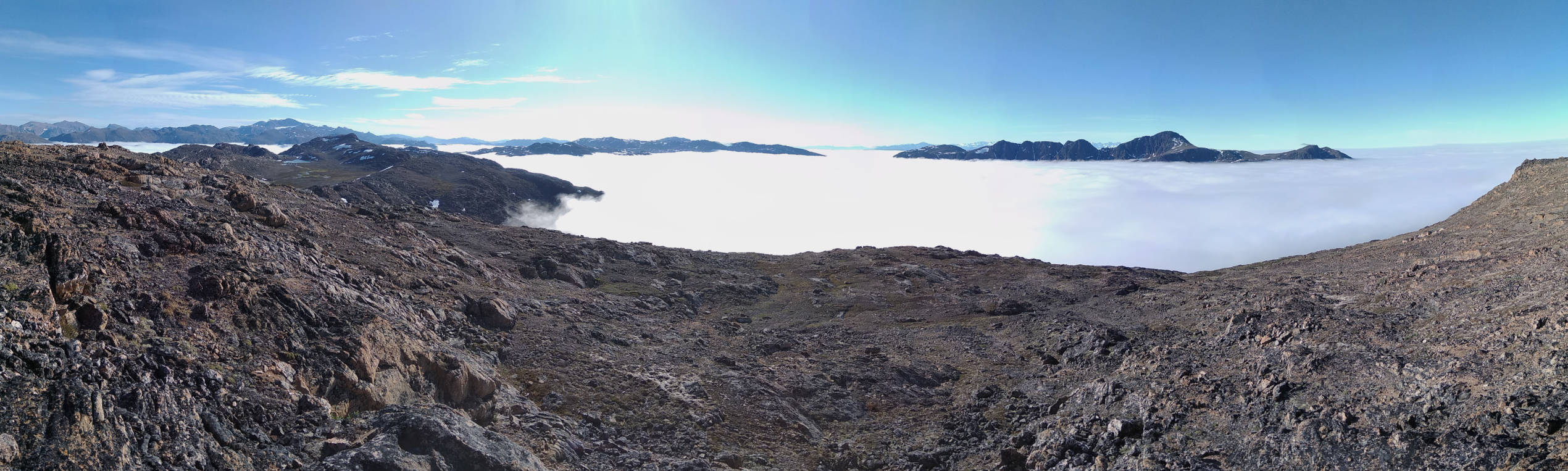
When I left Sisimiut, fog was starting to roll in from the sea – a common scenario in late spring through fall. I knew the ridge would be comfortably above the fog, and being a “cloud nerd” I was looking forward to see the fog forming and dissolving and ridges/hilltops appearing as peninsulas/islands with fog shrouding the surrounding valleys and fjords.
Besides spending some time in blissful solitude, basking in the midnight sun, the purpose of the trip was to capture the sun just exactly not setting as Sisimiut is 40 km north of the Arctic Circle. Unfortunately the hills to the north are high enough to obscure the sun (Nasaasaaq is high enough to avoid their shadow), and worse, I underestimated the camera’s idle power draw, so the battery died sooner than expected, interrupting the shot. Easily avoidable mistakes challenge my temper, but after walking around in this scenery for hours I couldn’t be bothered. I was just grateful to be there and experience it. What could be more important than that?
It was also an opportunity to do a bit of drone practicing. I’ve got a lot to learn, but thanks to how good drones are nowadays it’s still possible to get decent footage with hardly any skill/effort.
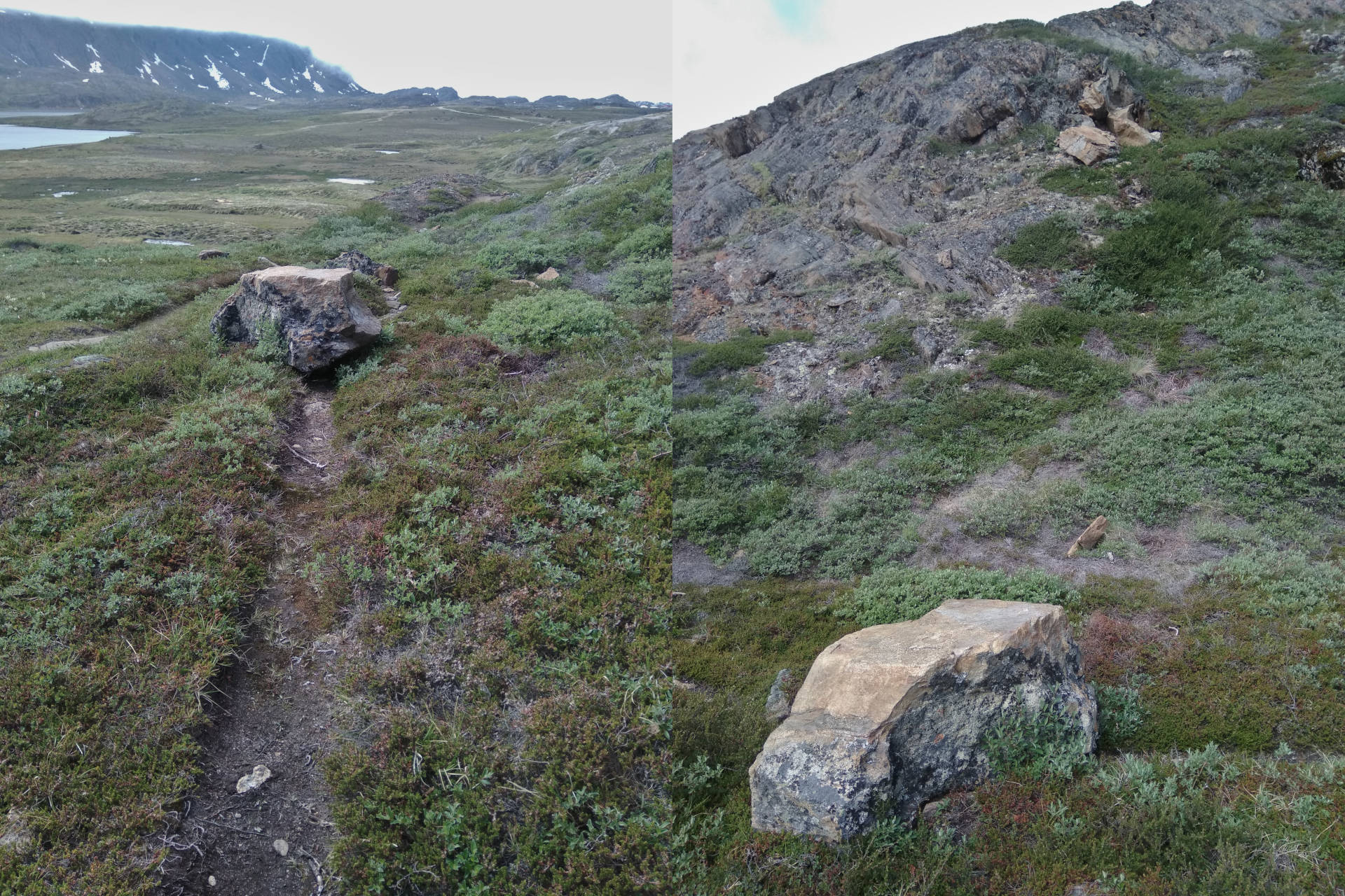
I inadvertently went a somewhat different route back to town than I came and ended up farther east on the trail to the UFO. Here I got a gentle reminder that you should be careful venturing out in remote territory, especially if going on your own as I tend to. Accidents do happen, and getting a satellite communication device is on my to-do list.